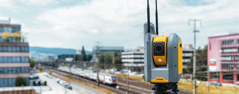
From site survey to digital twin, we support Taiwan's engineering and construction sector with professional-grade geospatial solutions. Our services span ground penetrating radar, point cloud scanning, TAF calibration, and instrument maintenance and rental. Our portfolio covers 3D laser scanners, GNSS receivers, total stations, BIM solutions, and a full range of civil engineering instruments.
Geospatial